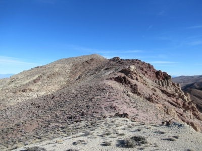
Coffin Peak
CA 
BGN PageElevation
: 5,513' (LiDAR) map: 5,490'CA Rank
: 3889CA Prominence Rank
: 8229County
: InyoQuad
: Dantes ViewCoords
: 36.21437°N, 116.70577°W Notice
: 36.21437°N, 116.70577°W NoticeRise
: 359' (LiDAR) map: 150'Saddle
: 5,154' (LiDAR) map: 5,340'Line Parent
: Dante BenchmarkParent Lineage
Proximate Parent
: Dante BenchmarkIsolation
: 1.38 milesDeath Valley Wilderness
Death Valley National Park
YDS Class
: 2 Discussion DisclaimerWeather Link
Snow Depth
CalTopo
Custom List Entries
Trip Reports:
Submit a Trip Report
Report 1
Report 2
Report 3
Links: peakbagger.com
Ascents:
38 members have reported ascents...
log in to view ascents
Click on map to view full-screen map
Images:
Click on icons for info/definitions
icons for info/definitions