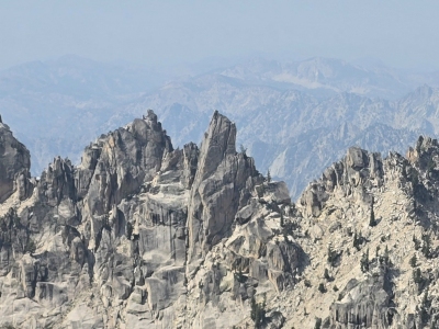
"Bluebonnet Tower"
ID 
SourceElevation
: 10,026' (LiDAR) map: 9,980'County
: BoiseQuad
: Warbonnet PeakCoords
: 44.07887°N, 115.04791°W Notice
: 44.07887°N, 115.04791°W NoticeRise
: 108' (LiDAR) map: 40'Saddle
: 9,918' (LiDAR) map: 9,940'Line Parent
: "Cirque Lake Peak"Parent Lineage
Proximate Parent
: "Cirque Lake Peak"Isolation
: 0.15 milesSawtooth Wilderness
Boise National Forest
YDS Class
: 5.x Discussion DisclaimerWeather Link
Snow Depth
CalTopo
Custom List Entries
Trip Reports:
Submit a Trip Report
Ascents:
0 members have reported ascents...
Click on map to view full-screen map
Images:
Click on icons for info/definitions
icons for info/definitions