"Homers Nipple"
ID 
SourceElevation
: 3,659' (LiDAR) map: 3,650'County
: AdaQuad
: Boise SouthCoords
: 43.58952°N, 116.13700°W Notice
: 43.58952°N, 116.13700°W NoticeRise
: 142' (LiDAR) map: 140'Saddle
: 3,517' (LiDAR) map: 3,510'Line Parent
: Lucky PeakParent Lineage
Proximate Parent
: Lucky PeakIsolation
: 3.95 milesYDS Class
: 2+ Discussion DisclaimerWeather Link
Snow Depth
CalTopo
Custom List Entries
Trip Reports:
Submit a Trip Report
Report 1
Links: peakbagger.com
Ascents:
26 members have reported ascents...
log in to view ascents
Click on map to view full-screen map
Images:
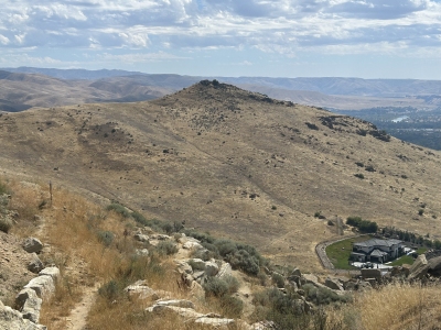 Paul Klenke 09-05-2026 | 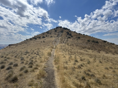 Paul Klenke 09-05-2026 | 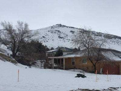 Tom Lopez 01-18-2017 |
| Submit another image for this peak | ||
Click on icons for info/definitions
icons for info/definitions