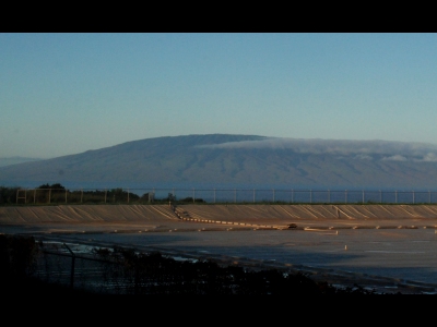
Lāna'ihale
HI 
BGN PageElevation
: 3,384' (LiDAR) map: 3,395'HI Rank
: 52HI Prominence Rank
: 8County
: MauiQuad
: Island of Lanai OE NWCoords
: 20.81293°N, 156.87385°W Notice
: 20.81293°N, 156.87385°W NoticeRise
: 3,384' (LiDAR) map: 3,395'Saddle
: 0' (LiDAR) map: 0'LiDAR Notes
Line Parent
: Puu KukuiParent Lineage
Proximate Parent
: LihauIsolation
: 18.00 milesSubmit YDS Class Rating
Weather Link
CalTopo
Custom List Entries
Notes: Elevation from 1:250k
Trip Reports:Submit a Trip Report
Report 1
Report 2
Report 3
Links: peakbagger.com
Ascents:
22 members have reported ascents...
log in to view ascents
Click on map to view full-screen map
Images:
Click on icons for info/definitions
icons for info/definitions