Taylor County HP
WI
Elevation: 1,847' (LiDAR)
Rise: 166'
County: Taylor
Quad: Rib Lake
Line Parent: Timms Hill
Proximate Parent: Timms Hill
Taylor County Highpoint
Isolation: 6.59 miles
YDS Class: 1 Suggest Revision
Add ascent
Weather Forecast
Snow Depth
Images:
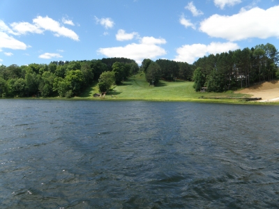 JoeGrim 08-02-2015 |
Submit another Image
Trip Reports:
Submit a Trip Report
1997-08-15 - JoeGrim
Links: peakbagger.com
Ascents:
25 members have reported ascents...
log in to view ascents