Timms Hill
WI
Alternate Names: Ogema Benchmark
WI State Highpoint
Elevation: 1,952' (LiDAR)
Rise: 434'
WI Rank: 1
WI Prominence Rank: 12
County: Price
Quad: Timms Hill
Line Parent: Curwood, Mount
Proximate Parent: Summit Peak
Price County Highpoint
Isolation: 91.96 miles
YDS Class: 1 Suggest Revision
Add ascent
Weather Forecast
Snow Depth
Images:
 doug72901 04-20-2010 |  doug72901 04-20-2010 | 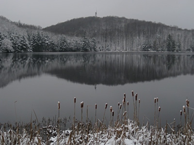 PaulStratmoen 11-16-2010 |  PaulStratmoen 11-16-2010 |
Submit another Image
Trip Reports:
Submit a Trip Report
2019-08-14 - JoeGrim
2019-07-29 - DavePahlas
2017-09-04 - Nuernberger Josef
Links: peakbagger.com
Ascents:
191 members have reported ascents...
log in to view ascents