Buck Hill
MN
Elevation: 1,195'
Rise: 220'
County: Dakota
Quad: Orchard Lake
Line Parent: Pilot Knob
Proximate Parent: 1210
Dakota County Highpoint
Isolation: 66.25 miles
Submit YDS Class Rating
Add ascent
Weather Forecast
Snow Depth
Images:
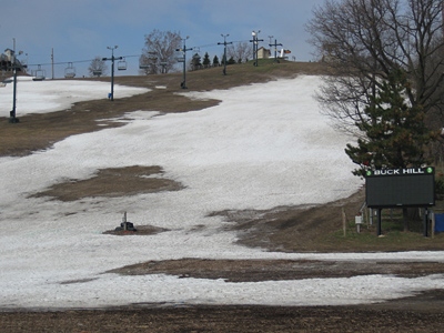 PaulStratmoen 05-05-2013 | 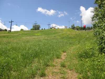 ScottSurgent 10-30-2015 |
Submit another Image
Trip Reports:
Submit a Trip Report
Links: peakbagger.com
Ascents:
16 members have reported ascents...
log in to view ascents