Pilot Knob
IA
Elevation: 1,453' (LiDAR)
Rise: 327'
IA Rank: 2
IA Prominence Rank: 2
County: Hancock
Quad: Pilot Knob
Line Parent: Roberts County HP
Proximate Parent: Carroll County HP
Hancock County Highpoint
Isolation: 116.57 miles
YDS Class: 1 Suggest Revision
Add ascent
Weather Forecast
Snow Depth
Images:
 John Kirk 12-01-2008 |  John Kirk 12-01-2008 | 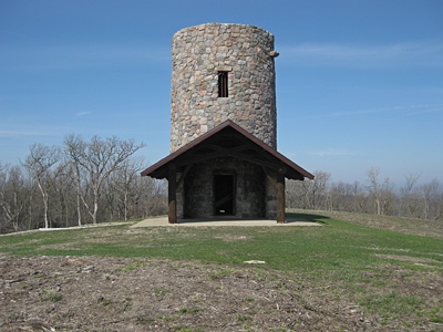 PaulStratmoen 05-06-2013 |
Submit another Image
Trip Reports:
Submit a Trip Report
2024-05-01 - Rich P
2022-03-20 - PaulStratmoen
Links: peakbagger.com
Ascents:
51 members have reported ascents...
log in to view ascents