6384
AZ 
Elevation
: 6,384' (LiDAR) map: 6,373'AZ Rank
: 1386AZ Prominence Rank
: 5448County
: YavapaiQuad
: Iron SpringsCoords
: 34.62405°N, 112.57720°W Notice
: 34.62405°N, 112.57720°W NoticeRise
: 354' (LiDAR) map: 353'Saddle
: 6,030' (LiDAR) map: 6,020'Line Parent
: Little Granite MountainParent Lineage
Proximate Parent
: Little Granite MountainIsolation
: 1.02 milesGranite Mountain Wilderness
Prescott National Forest
YDS Class
: 3 Discussion DisclaimerWeather Link
Snow Depth
CalTopo
Trip Reports:
Submit a Trip Report
Report 1
Report 2
Links: peakbagger.com
Ascents:
6 members have reported ascents...
log in to view ascents
Click on map to view full-screen map
Images:
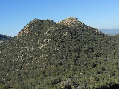 JBS 05-07-2012 | 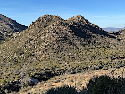 John Kirk 07-22-2025 | 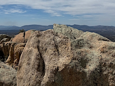 John Kirk 07-22-2025 |
| Submit another image for this peak | ||
Click on icons for info/definitions
icons for info/definitions