5710
CO 
Elevation
: 5,710' (LiDAR) map: 5,700'CO Rank
: 4353CO Prominence Rank
: 3421County
: MesaQuad
: Sieber CanyonCoords
: 39.07818°N, 108.94639°W Notice
: 39.07818°N, 108.94639°W NoticeRise
: 346' (LiDAR) map: 360'Saddle
: 5,364' (LiDAR) map: 5,340'LiDAR Notes
Line Parent
: Black RidgeParent Lineage
Proximate Parent
: 6968Isolation
: 7.45 milesBlack Ridge Canyons Wilderness
YDS Class
: 5.7X A3+ Discussion DisclaimerWeather Link
Snow Depth
CalTopo
Custom List Entries
Trip Reports:
Submit a Trip Report
Report 1
Links: peakbagger.com
Ascents:
1 member has reported an ascent...
log in to view ascents
Click on map to view full-screen map
Images:
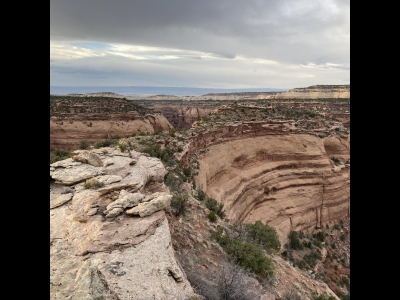 blazintoes 03-29-2025 | 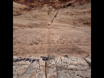 blazintoes 03-29-2025 | 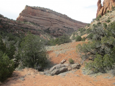 Erik Packard 03-16-2013 |  Erik Packard 05-08-2014 |
 Erik Packard 05-08-2014 |  Erik Packard 05-08-2014 |  Erik Packard 05-08-2014 |  Erik Packard 04-23-2012 |
| Submit another image for this peak | |||
Click on icons for info/definitions
icons for info/definitions