Morena Butte
CA 
BGN PageElevation
: 3,926' (LiDAR) map: 3,919'CA Rank
: 5880CA Prominence Rank
: 2166County
: San DiegoQuad
: Morena ReservoirCoords
: 32.67401°N, 116.54365°W Notice
: 32.67401°N, 116.54365°W NoticeRise
: 698' (LiDAR) map: 699'Saddle
: 3,228' (LiDAR) map: 3,220'LiDAR Notes
Line Parent
: Cameron BenchmarkParent Lineage
Proximate Parent
: "Bronco Peak"Isolation
: 2.45 milesHauser Wilderness Highpoint
Cleveland National Forest
YDS Class
: 2 Discussion DisclaimerWeather Link
Snow Depth
CalTopo
Custom List Entries
Notes: 3920'+ contour to the north found lower than location with 3919 spot elevation, verified by LiDAR.
Trip Reports:Submit a Trip Report
Report 1
Links: peakbagger.com
Ascents:
25 members have reported ascents...
log in to view ascents
Click on map to view full-screen map
Images:
 Brian Browning 01-15-2010 | 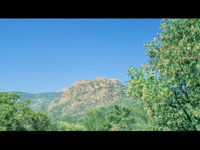 hiddenwild 11-27-2022 |  jmbrooks8 06-18-2015 |
| Submit another image for this peak | ||
Click on icons for info/definitions
icons for info/definitions