Harvard, Mount
CA 
BGN PageElevation
: 5,434' (LiDAR) map: 5,441'County
: Los AngelesQuad
: Mount WilsonCoords
: 34.21345°N, 118.06238°W Notice
: 34.21345°N, 118.06238°W NoticeRise
: 290' (LiDAR) map: 301'Saddle
: 5,144' (LiDAR) map: 5,140'LiDAR Notes
Line Parent
: Wilson, MountParent Lineage
Proximate Parent
: Wilson, MountIsolation
: 0.90 milesYDS Class
: 1+ Discussion DisclaimerWeather Link
Snow Depth
CalTopo
Notes: Previously assumed ranked based on map interpolation
Trip Reports:Submit a Trip Report
Report 1
Report 2
Links: peakbagger.com
Ascents:
45 members have reported ascents...
log in to view ascents
Click on map to view full-screen map
Images:
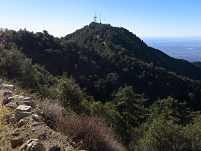 John Kirk 03-24-2016 |  John Kirk 03-24-2016 |
| Submit another image for this peak | |
Click on icons for info/definitions
icons for info/definitions