Jim Peak
WA 
BGN PageElevation
: 7,038' (LiDAR) map: 7,033'Counties
: Okanogan & WhatcomQuad
: Pasayten PeakCoords
: 48.80396°N, 120.73567°W Notice
: 48.80396°N, 120.73567°W NoticeRise
: 84' (LiDAR) map: 93'Saddle
: 6,954' (LiDAR) map: 6,940'Line Parent
: Tamarack PeakParent Lineage
Proximate Parent
: Devils BackboneIsolation
: 0.23 milesPasayten Wilderness
Okanogan National Forest
Mount Baker National Forest
Submit YDS Class Rating
Weather Link
Snow Depth
CalTopo
Custom List Entries
Trip Reports:
Submit a Trip Report
Links: peakbagger.com
Ascents:
2 members have reported ascents...
log in to view ascents
Click on map to view full-screen map
Images:
 David Carmody 12-26-2019 | 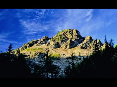 hiddenwild 06-29-2020 |
| Submit another image for this peak | |
Click on icons for info/definitions
icons for info/definitions