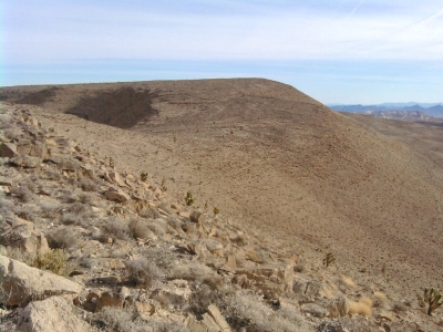
"Peacock Mountain"
NV 
SourceElevation
: 4,031' (LiDAR) map: 4,052'County
: ClarkQuad
: Bird SpringCoords
: 35.93844°N, 115.29308°W Notice
: 35.93844°N, 115.29308°W NoticeRise
: 173' (LiDAR) map: 352'Saddle
: 3,858' (LiDAR) map: 3,700'Line Parent
: 4038Parent Lineage
Proximate Parent
: 4038Isolation
: 0.63 milesSubmit YDS Class Rating
Weather Link
Snow Depth
CalTopo
Custom List Entries
Notes: Previously assumed HP, new 4038 location higher per LiDAR
Trip Reports:Submit a Trip Report
Report 1
Report 2
Report 3
Links: peakbagger.com
Ascents:
11 members have reported ascents...
log in to view ascents
Click on map to view full-screen map
Images:
Click on icons for info/definitions
icons for info/definitions