Hott Benchmark
CO 
DatasheetElevation
: 8,710' (LiDAR) map: 8,706'CO Rank
: 3169CO Prominence Rank
: 3069County
: ArchuletaQuad
: Jackson MountainCoords
: 37.29411°N, 106.91264°W Notice
: 37.29411°N, 106.91264°W NoticeRise
: 369' (LiDAR) map: 366'Saddle
: 8,341' (LiDAR) map: 8,340'LiDAR Notes
Line Parent
: Coal BenchmarkParent Lineage
Proximate Parent
: 9024Isolation
: 2.63 milesSan Juan National Forest
YDS Class
: 2 Discussion DisclaimerWeather Link
Snow Depth
CalTopo
Custom List Entries
Trip Reports:
Submit a Trip Report
Report 1
Report 2
Report 3
Links: peakbagger.com
Ascents:
14 members have reported ascents...
log in to view ascents
Click on map to view full-screen map
Images:
 Erik Packard 05-21-2016 |  John Kirk 07-16-2015 |  John Kirk 09-27-2017 | 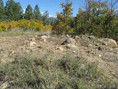 Ken Nolan 10-05-2026 |
 lukePlumley 11-20-2022 |  markott 10-24-2013 | ||
| Submit another image for this peak | |||
Click on icons for info/definitions
icons for info/definitions