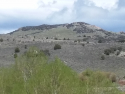
Whiskey Mountain
BGN PageElevation
 : 6,168' (LiDAR) map: 6,180'
County
 : Owyhee
Quad
 : Rooster Comb Peak
Coords
 : 43.16491°N, 116.80177°W Notice
 : 43.16491°N, 116.80177°W Notice
Rise
 : 298' (LiDAR) map: 320'
Saddle
 : 5,870' (LiDAR) map: 5,860'
LiDAR Notes
Line Parent
 : 7380
Parent Lineage
Proximate Parent
 : Jack Benchmark
Isolation
 : 4.21 miles
YDS Class
 : 2 Discussion Disclaimer
Weather Link
Snow Depth
CalTopo
Custom List Entries
Notes: Previously assumed ranked based on map interpolation
Trip Reports:Submit a Trip Report
Links: peakbagger.com
Ascents:

5 members have reported ascents...
log in to view ascents
Click on map to view full-screen map
Images:

Click on  icons for info/definitions
 icons for info/definitions


