Marble Mountain
ID 
BGN Page DatasheetElevation
: 6,510' (LiDAR) map: 6,501'County
: ShoshoneQuad
: Marble MountainCoords
: 47.15170°N, 116.03069°W Notice
: 47.15170°N, 116.03069°W NoticeRise
: 221' (LiDAR) map: 241'Saddle
: 6,289' (LiDAR) map: 6,260'Line Parent
: Camelback MountainParent Lineage
Proximate Parent
: Camelback MountainIsolation
: 1.12 milesSaint Joe National Forest
Submit YDS Class Rating
Weather Link
Snow Depth
CalTopo
Custom List Entries
Trip Reports:
Submit a Trip Report
Links: peakbagger.com
Ascents:
1 member has reported an ascent...
log in to view ascents
Click on map to view full-screen map
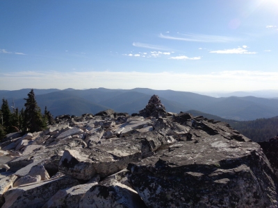
Images:
Click on icons for info/definitions
icons for info/definitions