Grouse Mountain
CO 
BGN PageElevation
: 9,887' (LiDAR) map: 9,881'CO Rank
: 2386CO Prominence Rank
: 2159County
: TellerQuad
: Cripple Creek SouthCoords
: 38.69563°N, 105.18001°W Notice
: 38.69563°N, 105.18001°W NoticeRise
: 446' (LiDAR) map: 431'Saddle
: 9,441' (LiDAR) map: 9,450'LiDAR Notes
Line Parent
: "Bull Hill"Parent Lineage
Proximate Parent
: Straub MountainIsolation
: 1.80 milesYDS Class
: 2 Discussion DisclaimerWeather Link
Snow Depth
CalTopo
Custom List Entries
Trip Reports:
Submit a Trip Report
Report 1
Report 2
Links: peakbagger.com
Ascents:
25 members have reported ascents...
log in to view ascents
Click on map to view full-screen map
Images:
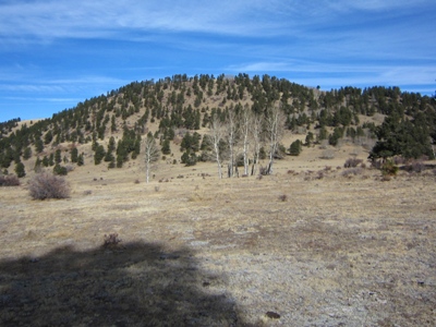 John Kirk 12-10-2010 |  KevinBaker 02-03-2008 |
| Submit another image for this peak | |
Click on icons for info/definitions
icons for info/definitions