"Marmot Ridge"
CA 
SourceAlternate Names
: "Dinosaur Crest"Elevation
: 12,633' (LiDAR) map: 12,627'CA Rank
: 252CA Prominence Rank
: 4859County
: TulareQuad
: Mount BrewerCoords
: 36.72788°N, 118.47124°W Notice
: 36.72788°N, 118.47124°W NoticeRise
: 466' (LiDAR) map: 456'Saddle
: 12,167' (LiDAR) map: 12,171'LiDAR Notes
Line Parent
: North GuardParent Lineage
Proximate Parent
: North GuardIsolation
: 1.29 milesSequoia-Kings Canyon Wilderness
Kings Canyon National Park
Submit YDS Class Rating
Weather Link
Snow Depth
CalTopo
Custom List Entries
Trip Reports:
Submit a Trip Report
Report 1
Links: peakbagger.com
Ascents:
6 members have reported ascents...
log in to view ascents
Click on map to view full-screen map
Images:
 John Kirk 09-19-2018 | 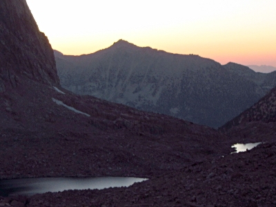 John Kirk 09-19-2018 |
| Submit another image for this peak | |
Click on icons for info/definitions
icons for info/definitions