Big Chief, Mount
CO 
BGN PageElevation
: 11,224' (LiDAR) map: 11,224'County
: TellerQuad
: Mount Big ChiefCoords
: 38.73743°N, 104.97437°W Notice
: 38.73743°N, 104.97437°W NoticeRise
: 252' (LiDAR) map: 244'Saddle
: 10,972' (LiDAR) map: 10,980'Line Parent
: Almagre Mountain, SouthParent Lineage
Proximate Parent
: Rain BenchmarkIsolation
: 1.76 milesPike National Forest
YDS Class
: 2 Discussion DisclaimerWeather Link
Snow Depth
CalTopo
Trip Reports:
Submit a Trip Report
Report 1
Report 2
Report 3
Links: peakbagger.com
Ascents:
25 members have reported ascents...
log in to view ascents
Click on map to view full-screen map
Images:
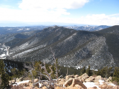 JeremyHakes 03-01-2011 | 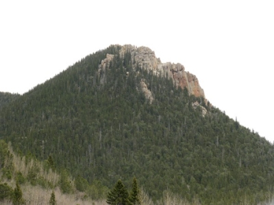 Ken Nolan 05-07-2018 | 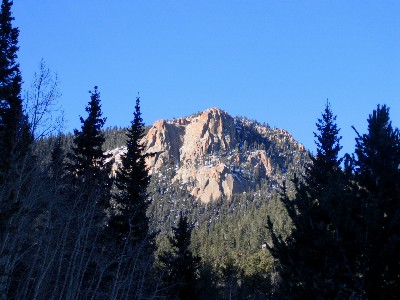 KevinBaker 01-13-2008 | 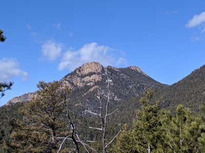 Kiefer Thomas 03-27-2020 |
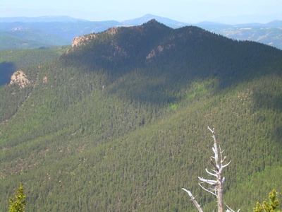 PatrickMcFadden 07-19-2008 | |||
| Submit another image for this peak | |||
Click on icons for info/definitions
icons for info/definitions