Lake Hills
ID 
BGN PageElevation
: 6,979' (LiDAR) map: 6,980'ID Rank
: 3398ID Prominence Rank
: 739County
: BlaineQuad
: Lake HillsCoords
: 43.40319°N, 113.95795°W Notice
: 43.40319°N, 113.95795°W NoticeRise
: 891' (LiDAR) map: 160'Saddle
: 6,088' (LiDAR) map: 6,820'Line Parent
: 7151Parent Lineage
Proximate Parent
: 7412Isolation
: 5.49 milesSubmit YDS Class Rating
Weather Link
Snow Depth
CalTopo
Trip Reports:
Submit a Trip Report
Ascents:
2 members have reported ascents...
log in to view ascents
Click on map to view full-screen map
Images:
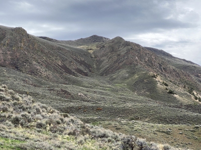 DerekPercoski 09-28-2026 | 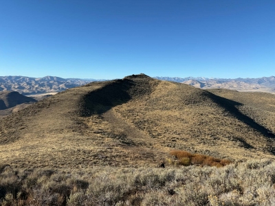 DerekPercoski 10-15-2026 |
| Submit another image for this peak | |
Click on icons for info/definitions
icons for info/definitions