Gibraltar Rock
WA 
BGN PageElevation
: 12,691' (LiDAR) map: 12,660'County
: PierceQuad
: Mount Rainier EastCoords
: 46.84583°N, 121.74540°W Notice
: 46.84583°N, 121.74540°W NoticeRise
: 32' (LiDAR) map: 10'Saddle
: 12,659' (LiDAR) map: 12,650'Line Parent
: Rainier, MountParent Lineage
Proximate Parent
: Rainier, MountIsolation
: 0.82 milesSubmit YDS Class Rating
Weather Link
Snow Depth
CalTopo
Notes: Map saddle elevation interpolated between spot elevation and 12,640' contour.
Trip Reports:Submit a Trip Report
Links: peakbagger.com
Ascents:
0 members have reported ascents...
Click on map to view full-screen map
Images:
 hiddenwild 04-03-2017 |  hiddenwild 05-16-2023 | 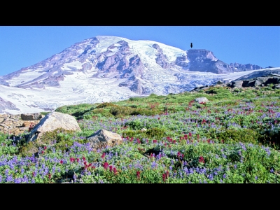 hiddenwild 05-16-2023 |  hiddenwild 04-12-2017 |
| Submit another image for this peak | |||
Click on icons for info/definitions
icons for info/definitions