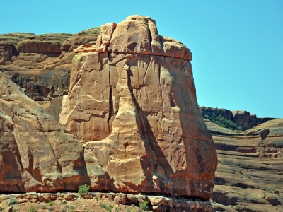
"The Lamb"
UT 
SourceElevation
: 4,345' (LiDAR) map: 4,380'County
: GrandQuad
: The Windows SectionCoords
: 38.64025°N, 109.60657°W Notice
: 38.64025°N, 109.60657°W NoticeRise
: 65' (LiDAR) map: 80'Saddle
: 4,280' (LiDAR) map: 4,300'Line Parent
: 5013Parent Lineage
Proximate Parent
: Babel, Tower ofIsolation
: 0.20 milesYDS Class
: 5.10 Discussion DisclaimerWeather Link
Snow Depth
CalTopo
Trip Reports:
Submit a Trip Report
Ascents:
1 member has reported an ascent...
log in to view ascents
Click on map to view full-screen map
Images:
Click on icons for info/definitions
icons for info/definitions