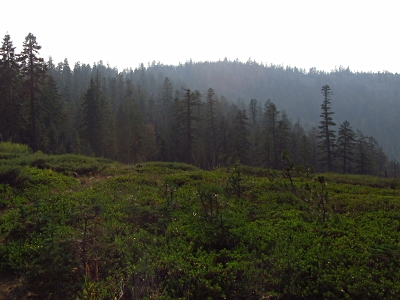
"Corral Ridge"
SourceElevation
 : 8,168' (LiDAR) map: 8,180'
County
 : Calaveras
Quad
 : Tamarack
Coords
 : 38.48322°N, 120.07652°W Notice
 : 38.48322°N, 120.07652°W Notice
Rise
 : 219' (LiDAR) map: 240'
Saddle
 : 7,949' (LiDAR) map: 7,940'
Line Parent
 : Bloods Ridge
Parent Lineage
Proximate Parent
 : Bloods Ridge
Isolation
 : 1.31 miles
Calaveras County Highpoint
Stanislaus National Forest
YDS Class
 : 2 Discussion Disclaimer
Weather Link
Snow Depth
CalTopo
Notes: Highest of candidate locations as determined by LiDAR, 4.5ft higher than south contour location.
Trip Reports:Submit a Trip Report
Report 1
Report 2
Report 3
Links: peakbagger.com
Ascents:

49 members have reported ascents...
log in to view ascents
Click on map to view full-screen map
Images:

Click on  icons for info/definitions
 icons for info/definitions