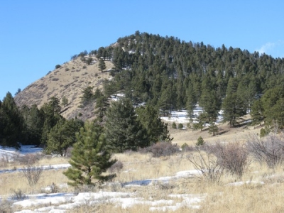
9716
Elevation
 : 9,716' (LiDAR) map: 9,700'
County
 : Park
Quad
 : Black Mountain
Coords
 : 38.74013°N, 105.62691°W Notice
 : 38.74013°N, 105.62691°W Notice
Rise
 : 287' (LiDAR) map: 280'
Saddle
 : 9,429' (LiDAR) map: 9,420'
Line Parent
 : 10335
Parent Lineage
Proximate Parent
 : 9747
Isolation
 : 0.42 miles
Submit YDS Class Rating

Weather Link
Snow Depth
CalTopo
Custom List Entries
Notes: Included based on historical 300 ft+ possible map prominence, no longer soft-ranked
Trip Reports:Submit a Trip Report
Ascents:

1 member has reported an ascent...
log in to view ascents
Click on map to view full-screen map
Images:

Click on  icons for info/definitions
 icons for info/definitions