6789
UT 
Elevation
: 6,789' (LiDAR) map: 6,776'UT Rank
: 2568UT Prominence Rank
: 3898County
: GrandQuad
: Rill CreekCoords
: 38.57202°N, 109.39559°W Notice
: 38.57202°N, 109.39559°W NoticeRise
: 322' (LiDAR) map: 316'Saddle
: 6,467' (LiDAR) map: 6,460'Line Parent
: "Pilot Mountain"Parent Lineage
Proximate Parent
: Adobe MesaIsolation
: 5.59 milesMill Creek Canyon Wilderness Study Area
US Steepness Rank
: 935YDS Class
: 5.8 Discussion DisclaimerWeather Link
Snow Depth
CalTopo
Custom List Entries
Trip Reports:
Submit a Trip Report
Report 1
Links: peakbagger.com
Ascents:
2 members have reported ascents...
log in to view ascents
Click on map to view full-screen map
Images:
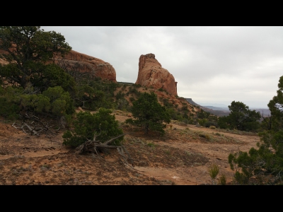 dhgold 04-24-2017 | 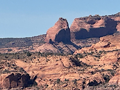 John Kirk 07-22-2025 |
| Submit another image for this peak | |
Click on icons for info/definitions
icons for info/definitions