"Reno Ridge"
CO 
SourceElevation
: 11,371' (LiDAR) map: 11,363'County
: GunnisonQuad
: Pearl PassCoords
: 38.89211°N, 106.75929°W Notice
: 38.89211°N, 106.75929°W NoticeRise
: 201' (LiDAR) map: 183'Saddle
: 11,170' (LiDAR) map: 11,180'LiDAR Notes
Line Parent
: 11606Parent Lineage
Proximate Parent
: 11606Isolation
: 2.31 milesGunnison National Forest
YDS Class
: 1 Discussion DisclaimerWeather Link
Snow Depth
CalTopo
Custom List Entries
Trip Reports:
Submit a Trip Report
Report 1
Ascents:
7 members have reported ascents...
log in to view ascents
Click on map to view full-screen map
Images:
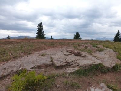 jmbrooks8 08-29-2012 | 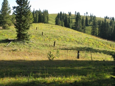 Ken Nolan 09-05-2019 |
| Submit another image for this peak | |
Click on icons for info/definitions
icons for info/definitions