Chippewa County HP
MI 
Elevation
: 1,098' (LiDAR) map: 1,095'MI Rank
: 103MI Prominence Rank
: 59County
: ChippewaQuad
: McNearney LakeCoords
: 46.42551°N, 84.94638°W Notice
: 46.42551°N, 84.94638°W NoticeRise
: 373' (LiDAR) map: 373'Saddle
: 725' (LiDAR) map: 722'Line Parent
: Luce County HPParent Lineage
Proximate Parent
: 1475Isolation
: 28.21 milesChippewa County Highpoint
YDS Class
: 2 Discussion DisclaimerWeather Link
Snow Depth
CalTopo
Custom List Entries
Trip Reports:
Submit a Trip Report
Links: peakbagger.com
Ascents:
9 members have reported ascents...
log in to view ascents
Click on map to view full-screen map
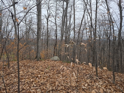
Images:
Click on icons for info/definitions
icons for info/definitions