White Rocks
SD
Alternate Names: "Mount Moriah"
Elevation: 5,250'
Rise: 230'
County: Lawrence
Quad: Deadwood North
Line Parent: 6500
Proximate Parent: 5266
Isolation: 0.52 miles
Submit YDS Class Rating
Add ascent
Weather Forecast
Snow Depth
Images:
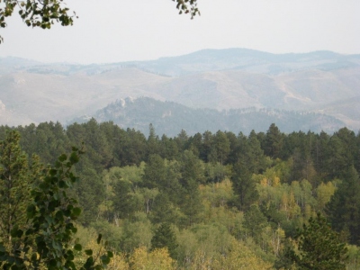 JeremyHakes 09-18-2012 | 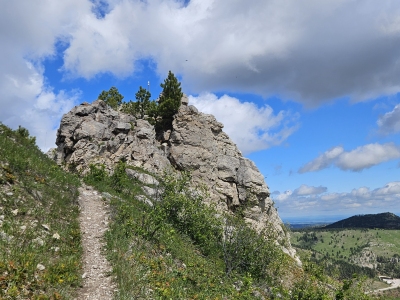 LouieLemon 05-27-2025 |
Submit another Image
Trip Reports:
Submit a Trip Report
Links: peakbagger.com
Ascents:
5 members have reported ascents...
log in to view ascents