La Salle County HP
TX
Elevation: 655'
Rise: 40'
County: La Salle
Quad: Las Vegas
Line Parent: 3035
Proximate Parent: Anacacho Mountains (HP)
La Salle County Highpoint
Isolation: 62.09 miles
Submit YDS Class Rating
Add ascent
Weather Forecast
Snow Depth
Images:
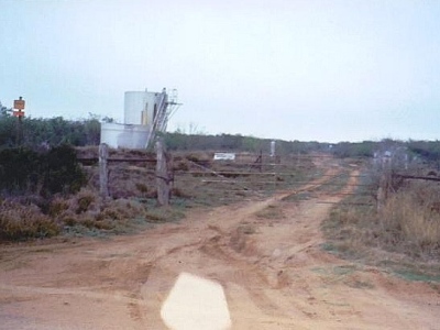 ScottSurgent 09-29-2009 |
Submit another Image
Trip Reports:
Submit a Trip Report
Links: peakbagger.com
Ascents:
3 members have reported ascents...
log in to view ascents