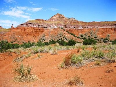
Capitol Peak
TX
Elevation: 3,158'
Rise: 168'
County: Randall
Quad: Fortress Cliff
Line Parent: Luciano Mesa
Proximate Parent: 3264
Isolation: 19.08 miles
YDS Class: 2+ Suggest Revision
Add ascent
Weather Forecast
Snow Depth
Images:
 susanjoypaul 08-09-2011 | 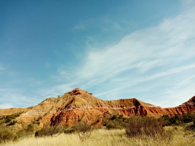 Tom Pileggi 04-21-2024 | 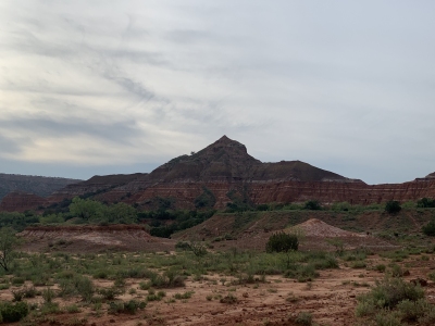 wren 06-07-2021 |  wren 06-07-2021 |
Submit another Image
Trip Reports:
Submit a Trip Report
2024-04-12 - Tom Pileggi
Links: peakbagger.com
Ascents:
6 members have reported ascents...
log in to view ascents