Lost Peak
TX
Elevation: 7,830'
Rise: 170'
County: Culberson
Quad: Guadalupe Peak
Line Parent: 7916
Proximate Parent: 7916
Isolation: 1.28 miles
YDS Class: 2 Suggest Revision
Add ascent
Weather Forecast
Snow Depth
Images:
 BarryRaven 10-08-2009 |  John Kirk 03-22-2017 | 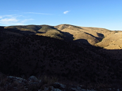 John Kirk 03-22-2017 |
Submit another Image
Trip Reports:
Submit a Trip Report
2017-03-18 - John Kirk
Links: peakbagger.com
Ascents:
19 members have reported ascents...
log in to view ascents