"Mount Agassiz"
CA
Elevation: 9,972' (LiDAR)
Rise: 263'
County: El Dorado
Quad: Pyramid Peak
Line Parent: Price, Mount
Proximate Parent: Price, Mount
Isolation: 0.50 miles
YDS Class: 2 Suggest Revision
Add ascent
Weather Forecast
Snow Depth
Images:
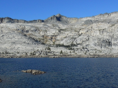 JBS 09-14-2014 |
Submit another Image
Trip Reports:
Submit a Trip Report
2009-04-29 - Bob Burd
Links: peakbagger.com
Ascents:
34 members have reported ascents...
log in to view ascents