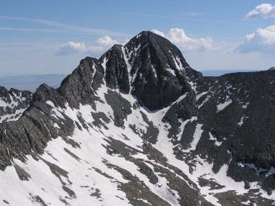
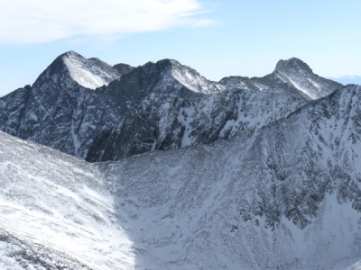
Blanca Peak
CO
Elevation: 14,350' (LiDAR)
Rise: 5,335'
CO Rank: 4
CO Prominence Rank: 3
Counties: Alamosa & Costilla
Quad: Blanca Peak
Line Parent: Harvard, Mount
Proximate Parent: Harvard, Mount
Alamosa & Costilla County Highpoint
Isolation: 103.62 miles
YDS Class: 2 Suggest Revision
Add ascent
Weather Forecast
Snow Depth
Images:
 CharGalli 08-21-2022 |  DarrylMontgomery 07-25-2016 |  John Kirk 11-02-2008 | 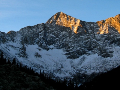 John Kirk 11-02-2008 |
 John Kirk | 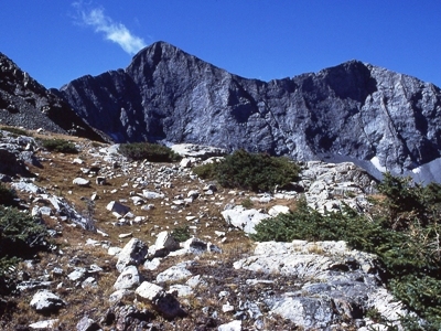 johnvitz 12-04-2014 | 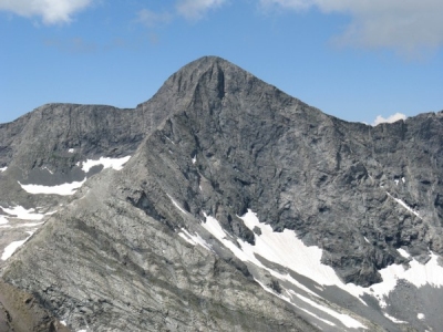 Ken Nolan 07-21-2017 | 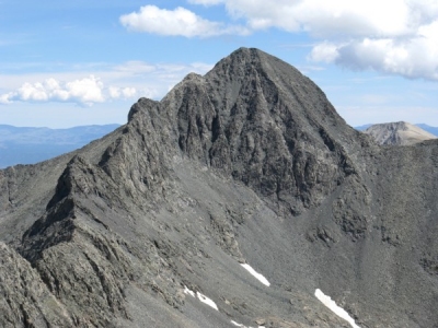 Ken Nolan 11-19-2014 |
 Ken Nolan 11-19-2014 | 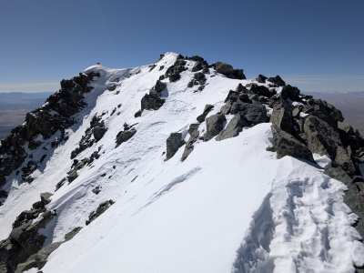 Kiefer Thomas 03-02-2025 | 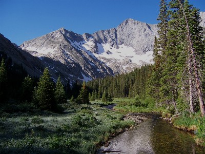 Kiefer Thomas 11-22-2007 | 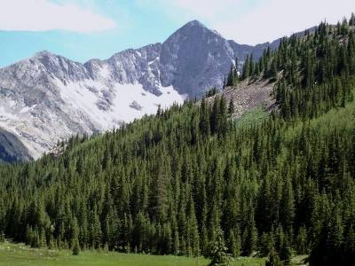 patrickmcfadden 07-31-2009 |
Submit another Image
Trip Reports:
Submit a Trip Report
2023-07-20 - longranger
2022-07-02 - josephnephi
2020-07-31 - Bob Burd
2017-08-12 - James Hitch
2006-07-22 - Brian Kalet
2005-08-13 - JeremyHakes
Links: peakbagger.com
Ascents:
641 members have reported ascents...
log in to view ascents