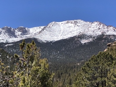
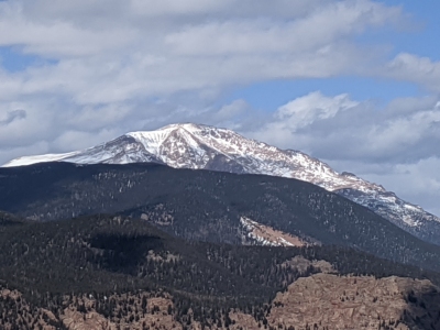
Pikes Peak
CO
Elevation: 14,109' (LiDAR)
Rise: 5,527'
CO Rank: 30
CO Prominence Rank: 2
County: El Paso
Quad: Pikes Peak
Line Parent: Democrat, Mount
Proximate Parent: Blue Sky, Mount
El Paso County Highpoint
Isolation: 60.91 miles
YDS Class: 1 Suggest Revision
Add ascent
Weather Forecast
Snow Depth
Images:
 JeremyHakes 05-10-2021 |  JeremyHakes 07-15-2009 | 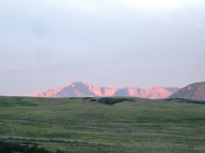 JeremyHakes 09-11-2008 |  JeremyHakes 06-05-2008 |
 John Kirk 04-20-2009 |  John Kirk 03-07-2022 | 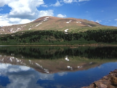 John Kirk 06-29-2010 |  John Kirk |
 Kiefer Thomas 03-27-2020 |  Kiefer Thomas 10-22-2013 | 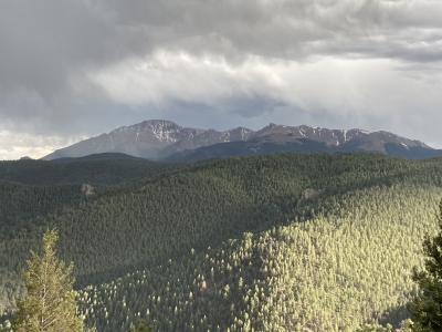 kirkmallory 06-18-2022 |  patrickmcfadden 08-03-2009 |
 patrickmcfadden 08-03-2009 |  patrickmcfadden 08-03-2009 |  PaulStratmoen 06-24-2011 | 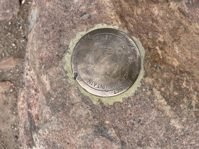 secondwind 07-27-2024 |
Submit another Image
Trip Reports:
Submit a Trip Report
2025-05-22 - josephnephi
2025-01-06 - jacolc
2024-07-26 - secondwind
2022-09-11 - bdloftin
2022-08-12 - bdloftin
2021-09-12 - bdloftin
2021-09-06 - bdloftin
2021-08-27 - bdloftin
2021-08-20 - bdloftin
2017-12-19 - bdloftin
2017-06-27 - bdloftin
2016-09-24 - James Hitch
2009-08-29 - RyanKowalski
2006-07-18 - Bob Burd
2006-02-04 - JeremyHakes
Links: peakbagger.com
Ascents:
978 members have reported ascents...
log in to view ascents