10315
CO
Elevation: 10,315' (LiDAR)
Rise: 295'
County: Park
Quad: Farnum Peak
Line Parent: "Puma Peak"
Proximate Parent: "Puma Peak"
Isolation: 1.46 miles
YDS Class: 2 Suggest Revision
Add ascent
Weather Forecast
Snow Depth
Images:
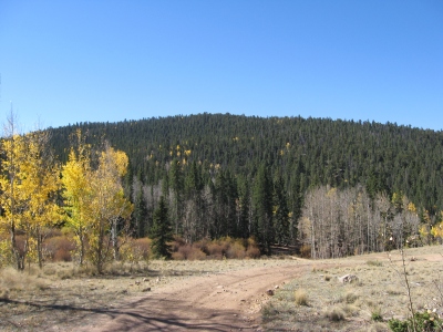 JeremyHakes 09-25-2010 |  JeremyHakes 09-25-2010 |
Submit another Image
Trip Reports:
Submit a Trip Report
2024-05-22 - Andrew Wahr
2019-06-08 - John Kirk
Ascents:
11 members have reported ascents...
log in to view ascents