"Fang Boulder"
CO
Elevation: 6,357' (LiDAR)
Rise: 9'
County: El Paso
Quad: Manitou Springs
Line Parent: 9613
Proximate Parent: 8123
Isolation: 3.52 miles
YDS Class: 3 Suggest Revision
Add ascent
Weather Forecast
Snow Depth
Images:
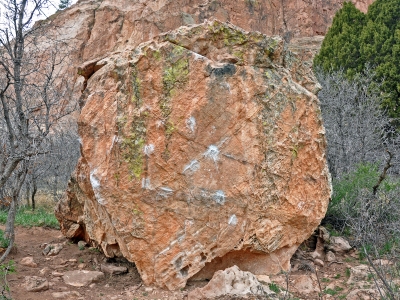 StewartMGreen 08-16-2016 |
Submit another Image
Trip Reports:
Submit a Trip Report
Ascents:
14 members have reported ascents...
log in to view ascents