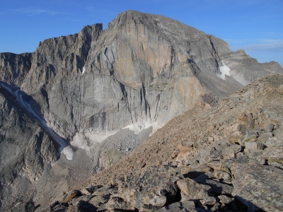
Longs Peak
CO
Elevation: 14,259' (LiDAR)
Rise: 2,947'
CO Rank: 15
CO Prominence Rank: 22
County: Boulder
Quad: Longs Peak
Line Parent: Torreys Peak
Proximate Parent: Torreys Peak
Boulder County Highpoint
Rocky Mountain Nat. Park Highpoint
Rocky Mountain National Park Wilderness Highpoint
Isolation: 43.74 miles
YDS Class: 3 Suggest Revision
Add ascent
Weather Forecast
Snow Depth
Images:
 Erik Packard 07-28-2013 |  glen charno 05-10-2016 | 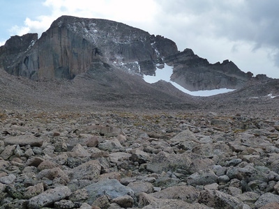 jmbrooks8 09-12-2011 | 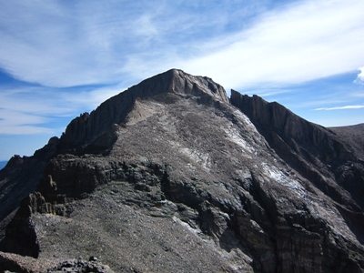 John Kirk 08-08-2010 |
 John Kirk | 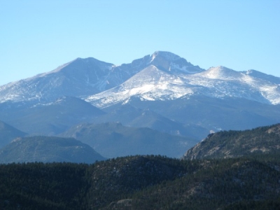 Ken Nolan 11-19-2023 |  Kiefer Thomas 06-07-2016 | 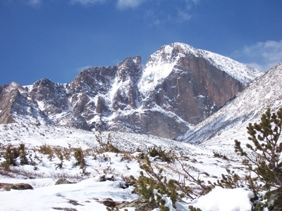 Kiefer Thomas 04-24-2009 |
 lukePlumley 07-06-2014 | 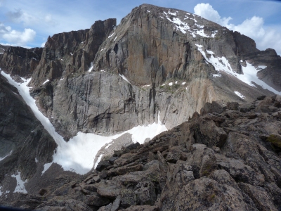 Mtnman 10-08-2018 | 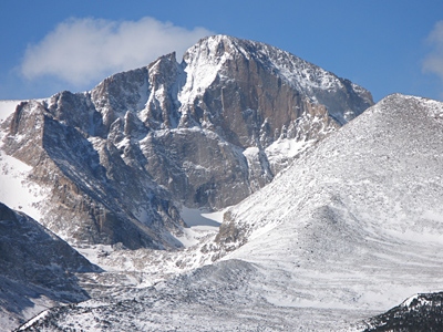 PaulStratmoen 03-11-2012 | 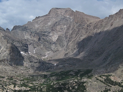 PaulStratmoen 07-01-2012 |
 PaulStratmoen 07-01-2012 | 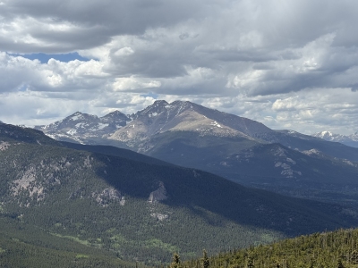 secondwind 06-07-2026 |  tdawg 08-24-2009 |
Submit another Image
Trip Reports:
Submit a Trip Report
2022-09-04 - josephnephi
2019-09-03 - JoeGrim
2016-06-16 - James Hitch
2015-08-24 - Furthermore
2012-09-06 - Furthermore
2010-04-09 - KieranBalazs
2006-07-22 - Bob Burd
Links: peakbagger.com
Ascents:
882 members have reported ascents...
log in to view ascents