Cheaha Mountain
AL
AL State Highpoint
Elevation: 2,409' (LiDAR)
Rise: 1,435'
AL Rank: 1
AL Prominence Rank: 1
County: Cleburne
Quad: Cheaha Mountain
Line Parent: Long Mountain
Proximate Parent: Cohutta Mountain
Cleburne County Highpoint
Isolation: 107.62 miles
YDS Class: 1 Suggest Revision
Add ascent
Weather Forecast
Snow Depth
Images:
 John Kirk 12-15-2012 | 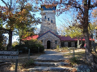 John Kirk 12-15-2012 |  Kiefer Thomas 07-12-2019 | 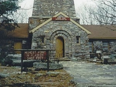 ScottSurgent |
Submit another Image
Trip Reports:
Submit a Trip Report
2016-09-05 - RickBaugher
2013-05-05 - drdickie
Links: peakbagger.com
Ascents:
238 members have reported ascents...
log in to view ascents