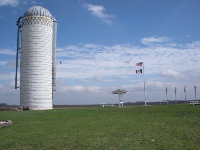
Hawkeye Point
IA
IA State Highpoint
Elevation: 1,671' (LiDAR)
Rise: 34'
County: Osceola
Quad: Sibley East
Line Parent: Roberts County HP
Proximate Parent: Turner County HP
Osceola County Highpoint
Isolation: 84.98 miles
YDS Class: 1 Suggest Revision
Add ascent
Weather Forecast
Snow Depth
Images:
 doug72901 04-20-2010 |  John Kirk |
Submit another Image
Trip Reports:
Submit a Trip Report
2014-04-30 - drdickie
Links: peakbagger.com
Ascents:
206 members have reported ascents...
log in to view ascents