Freel Peak
CA
Elevation: 10,883' (LiDAR)
Rise: 3,142'
CA Rank: 720
CA Prominence Rank: 42
Counties: Alpine & El Dorado
Quad: Freel Peak
Line Parent: Highland Peak
Proximate Parent: Highland Peak
El Dorado County Highpoint
Isolation: 23.07 miles
YDS Class: 1 Suggest Revision
Add ascent
Weather Forecast
Snow Depth
Images:
 John Kirk 11-25-2020 | 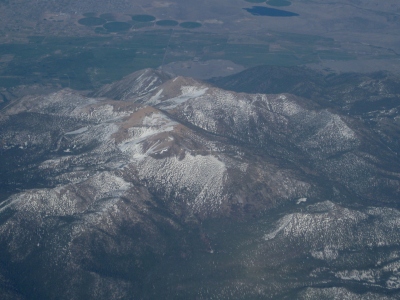 Paul Klenke 05-11-2012 | 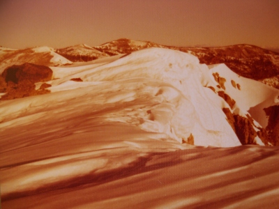 RickBaugher 12-12-2013 |  ScottSurgent |
 TeresaGergen 06-17-2017 |
Submit another Image
Trip Reports:
Submit a Trip Report
2023-09-17 - clarkp
2020-09-01 - John Kirk
2020-07-10 - Nuernberger Josef
2019-03-09 - AJ Kaufmann
2010-06-15 - Bob Burd
2008-02-16 - Brian Kalet
2004-04-03 - Bob Burd
1998-06-20 - Bob Burd
Links: peakbagger.com
Ascents:
143 members have reported ascents...
log in to view ascents