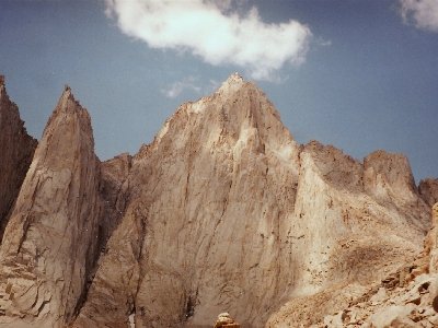
Whitney, Mount
CA
CA State Highpoint
Elevation: 14,500' (LiDAR)
Rise: 10,077'
CA Rank: 1
CA Prominence Rank: 1
Counties: Inyo & Tulare
Quad: Mount Whitney
Line Parent: Nevado de Toluca
Proximate Parent: Nevado de Toluca
Inyo & Tulare County Highpoint
Sequoia Nat. Park Highpoint
John Muir Wilderness Highpoint
Sequoia-Kings Canyon Wilderness Highpoint
Isolation: 1649.81 miles
YDS Class: 1 Suggest Revision
Add ascent
Weather Forecast
Snow Depth
Images:
 Brian Kalet 06-13-2020 |  Eric Waag 05-07-2013 |  hiddenwild 12-13-2022 |  John Kirk 11-25-2020 |
 John Kirk 11-25-2020 | 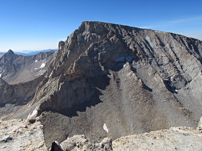 John Kirk 11-25-2020 | 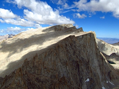 John Kirk 12-20-2019 | 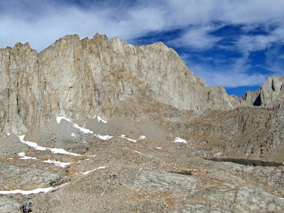 John Kirk 12-20-2019 |
 John Kirk 10-17-2007 |  PaulStratmoen 09-04-2013 |  PaulStratmoen 10-26-2009 |  PaulStratmoen 10-26-2009 |
 Phil Robinson 07-31-2015 |
Submit another Image
Trip Reports:
Submit a Trip Report
2026-05-09 - egilbert
2025-08-09 - ridgebaldner
2019-09-26 - John Kirk
2018-06-26 - tomc
2017-08-18 - Furthermore
2015-07-23 - Phil Robinson
2014-08-26 - IntrepidXJ
2013-08-26 - Bob Burd
2011-08-23 - DavePahlas
2010-07-03 - Beau DiVall
2007-08-12 - Bob Burd
2005-05-28 - Brian Kalet
2002-08-24 - Bob Burd
2001-08-12 - Bob Burd
1994-09-15 - Bob Burd
Links: peakbagger.com
Ascents:
583 members have reported ascents...
log in to view ascents