Las Tetillitas, South
NM
Elevation: 6,364'
Rise: 94'
County: Santa Fe
Quad: Tetilla Peak
Line Parent: Caja del Rio Plateau
Proximate Parent: Cerro de la Cruz
Isolation: 2.74 miles
Submit YDS Class Rating
Add ascent
Weather Forecast
Snow Depth
Images:
 Kiefer Thomas 09-13-2019 | 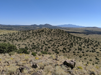 Kiefer Thomas 09-13-2019 |
Submit another Image
Trip Reports:
Submit a Trip Report
Ascents:
4 members have reported ascents...
log in to view ascents