Butler County HP
KS
Elevation: 1,685'
Rise: 250'
County: Butler
Quad: Latham SE
Line Parent: 7189
Proximate Parent: Sugar Hill
Butler County Highpoint
Isolation: 164.15 miles
Submit YDS Class Rating
Add ascent
Weather Forecast
Snow Depth
Images:
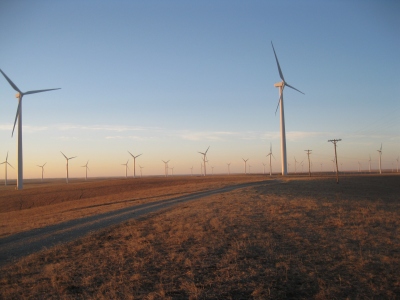 ChrisinAZ 02-22-2014 |
Submit another Image
Trip Reports:
Submit a Trip Report
Links: peakbagger.com
Ascents:
13 members have reported ascents...
log in to view ascents