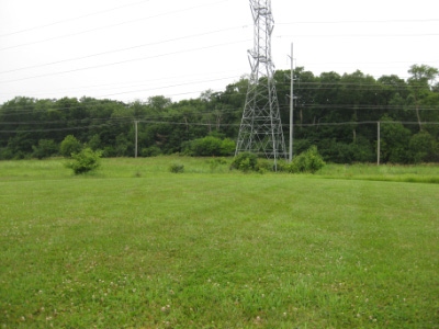
Cook County HP
IL
Elevation: 955'
Rise: 180'
County: Cook
Quad: Streamwood
Line Parent: Holy Hill
Proximate Parent: Holy Hill
Cook County Highpoint
Isolation: 77.59 miles
YDS Class: 1 Suggest Revision
Add ascent
Weather Forecast
Snow Depth
Images:
 jmbrooks8 10-06-2011 |
Submit another Image
Trip Reports:
Submit a Trip Report
2023-08-02 - jacolc
Links: peakbagger.com
Ascents:
25 members have reported ascents...
log in to view ascents