Round Knob
OH
Elevation: 1,448' (LiDAR)
Rise: 544'
OH Rank: 3
OH Prominence Rank: 4
County: Columbiana
Quad: West Point
Line Parent: 1635
Proximate Parent: Princeton Benchmark
Columbiana County Highpoint
Isolation: 30.05 miles
YDS Class: 1 Suggest Revision
Add ascent
Weather Forecast
Snow Depth
Images:
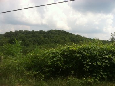 JeremyHakes 07-18-2013 |  JeremyHakes 07-22-2013 |
Submit another Image
Trip Reports:
Submit a Trip Report
2010-10-23 - drdickie
Links: peakbagger.com
Ascents:
11 members have reported ascents...
log in to view ascents