Long Bald
MO
Elevation: 1,150'
Rise: 40'
County: Taney
Quad: Garber
Line Parent: Lead Hill
Proximate Parent: 1270
Isolation: 14.59 miles
Submit YDS Class Rating
Add ascent
Weather Forecast
Snow Depth
Images:
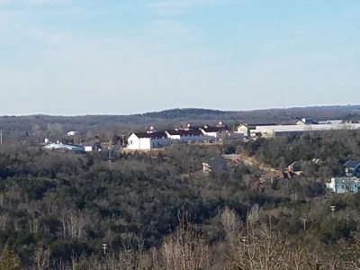 Kelly Wagner 12-08-2021 |
Submit another Image
Trip Reports:
Submit a Trip Report
Ascents:
1 member has reported an ascent...
log in to view ascents