Cedar Mountain
MO
Elevation: 1,332' (LiDAR)
Rise: 296'
County: Madison
Quad: Rock Pile Mountain
Line Parent: Matthews Mountain
Proximate Parent: Matthews Mountain
Isolation: 2.86 miles
Submit YDS Class Rating
Add ascent
Weather Forecast
Snow Depth
Images:
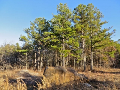 matt 01-03-2014 |
Submit another Image
Trip Reports:
Submit a Trip Report
Links: peakbagger.com
Ascents:
5 members have reported ascents...
log in to view ascents