Stegall Mountain
MO
Elevation: 1,348'
Rise: 313'
MO Rank: 38
MO Prominence Rank: 67
County: Carter
Quad: Stegall Mountain
Line Parent: Lead Hill
Proximate Parent: Thorny Mountain
Carter County Highpoint
Isolation: 1.60 miles
YDS Class: 2 Suggest Revision
Add ascent
Weather Forecast
Snow Depth
Images:
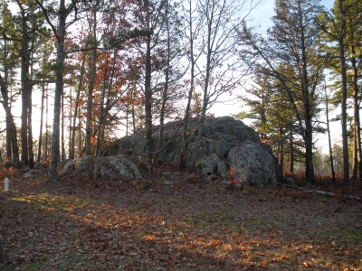 doug72901 11-22-2012 |
Submit another Image
Trip Reports:
Submit a Trip Report
2015-01-01 - drdickie
Links: peakbagger.com
Ascents:
13 members have reported ascents...
log in to view ascents