Cedar Hill
MO
Elevation: 1,427'
Rise: 277'
County: Iron
Quad: Graniteville
Line Parent: Taum Sauk Mountain
Proximate Parent: Oak Mountain
Isolation: 1.43 miles
Submit YDS Class Rating
Add ascent
Weather Forecast
Snow Depth
Images:
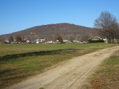 John Kirk 11-30-2010 |
Submit another Image
Trip Reports:
Submit a Trip Report
Ascents:
0 members have reported ascents...